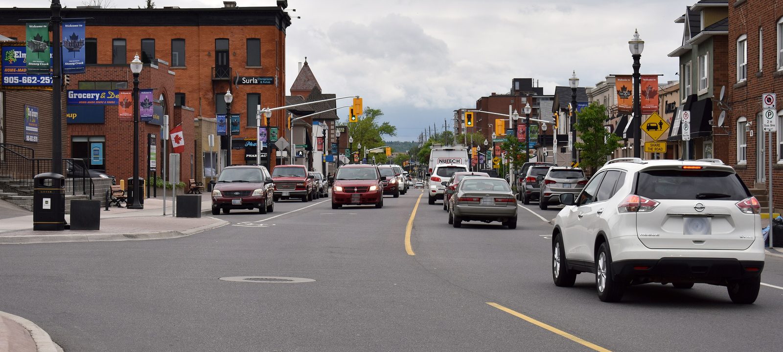
About Stoney Creek
Stoney Creek is the east end of Hamilton, about ten kilometres from downtown, running along Lake Ontario toward Grimsby. It was a town from 1974 and a city from 1984, and in 2001 it joined Hamilton, Ancaster, Dundas, Flamborough, and Glanbrook to form today’s City of Hamilton. It takes its name from the creek that runs from the Devil’s Punchbowl, on the escarpment, down to the lake.
The Niagara Escarpment splits it in two. Below it are the Old Town on King Street, the battlefield, the lakeshore, and Fruitland and Winona, where fruit farms once ran right down to the water. Above it, on the Mountain, are the newer neighbourhoods of Upper Stoney Creek and a wide stretch of farmland with villages like Vinemount and Tapleytown.
Below you’ll find the battlefield, the escarpment and the lake, the fruit belt, the schools, and how to get around, then a walk through Stoney Creek, using the City’s own neighbourhood names. Our guide to Hamilton covers the rest of the city.